Trying to maintain the momentum of
packing in as much as possible on my holiday, I felt that a long journey run
was in order. Something over 30 miles to qualify for a Tynecastle Bronze
- I haven't managed one since the John Muir Way Ultra in April.
A decent
weather forecast and a suggestion of doing the Herring Road was enough to tempt
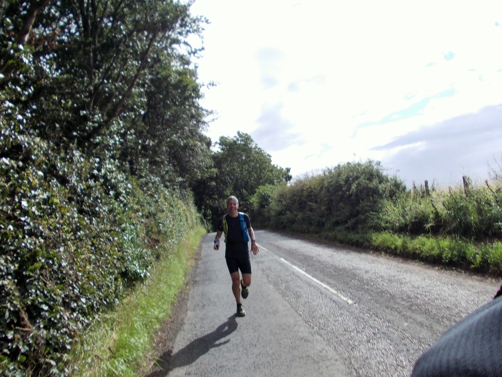
Peter to bunk off work for the day. Result - I haven't done a proper run
with him for ages, and he is the one who knows the way for this one! We
met at the station in Edinburgh shortly before 10 to get the bus down to
Lauder.

 |
Taking the pony for a walk to the shops
|


For the first section out of Lauder we followed
the well-marked Southern Upland Way. Overall, it rose gradually to the
Twin Law cairns at around 10 miles. The cairns are just to the right of
the central plantation of trees in the photo below.


We stopped briefly at the cairns for a bite to
eat, and to fill in the visitor book (now on its seventh iteration), which was
wrapped up tight in a ziplock bag, then biscuit tin, then two polythene bags.


We left the SUW not long after. It heads
east towards Watch Water Reservoir (visible in the distance below) and
Longformacus, while we veered more north.


We descended to cross the bridge over Dye Water
at Trottingshaw, before climbing back up onto the moor between Lamb Hill and
Black Hill.


Peter was concerned that he might run out of water, so filled a bottle from this organic certified natural spring (Killpallet Burn). Thankfully he didn't run out, and therefore didn't have to drink any of the bacteria-infected dead sheep water.

There was then a passing shower of rain which meant that I put the camera away. Which is probably just as well, as the snarling dogs at Penshiel might have caused me to drop it in alarm. I however don't have any photos of the stretch towards Whiteadder Reservoir. We pick things up again on the drag up to Crystal Rig wind-farm and Dunbar Common.


This stile was a challenge. I got to the top of it (some 6 feet off the ground) and then considered jumping down before stepping carefully on the insides of its walls.

Cue Peter with the big reveal, and much hilarity as we realised what an eejit I'd been.


The wind-farm roads have made following the true Herring Road quite difficult. Some parts are better than others with red topped posts every so often. Peter and I are traditionalists and wanted the authentic heritage path experience. Others presumably opt for the roads, with the result that the Herring Road path is less well trodden than it might be.


The last section through the wind-farm (before Lothian Edge) was extremely indistinct, with a multitude of different strips of ground that looked like shorter grass (but weren't really paths in the conventional sense), with precious little in the way of signposts, and heading off in different directions. More by luck than design we ended up on the correct one - when the Bass Rock first came into view, we were above the farm at Halls.


 |
| Pleased to be on the right course, and heading downhill to our journey's end |

It probably sounds quite ungrateful, and not in the spirit of the run, but I was glad to see tarmac again. Although I had enjoyed myself, it was good to know that we only had four miles left, and that there would be little in the way of fight required.
 |
| WM at Spott Parish Church |

Because Peter had run a mile up to the bus station before the start, and would have to do the same back at the end, he was happy to finish at Hallhill on 29 miles. I had to do a couple of laps of the playing fields to take me to 30, while he attended to his ablutions and made himself decent for the train.

After having wanted to do the Herring Road for quite some time, I'm glad to finally tick it off the list. It was a great way to mark the start of my holiday, and nice to catch up with Peter properly.
Hmmm, I never heard about the dead sheep water and the snarling dogs...Peter keeps telling me what a nice run it is!
ReplyDeleteWhat he did say was he was struggling to keep up, but don't tell him I said :-). Hope you have a happy holidays.
The snarling dogs (actually one was a wolf I think) were behind a fence but didn't exactly invite us in for tea and cakes. No positive spin to put on the water - Olympic swimmers would have been warned not to put their heads under. And I think we just struggled at different times. Cheers!
ReplyDeleteGreat stuff! Norrie and I have explored the Herring Road a few times and rarely take the same route twice. In the middle of the windmills we keep propping back up a big wooden signpost which helps navigation a lot... I guess it had fallen over again!
ReplyDeleteWhich direction do you go Lee? I think our problem might have been that the Halls end was light on signs so difficult to see what we were heading for. If you came up that way and could see posts in the distance then it might be easier?
ReplyDeleteHi Nick, I usually run over from Stoneypath on the good track past Moorcock Hall and over Clints Dod to the fence corner at 629682. The a short left and right along a path down the south side of a long fence to hit the Herring Road at the fence corner at 642669.
ReplyDeleteAfter that I follow the Herring route as close as possible. There's couple of new signs that lead off the windmill road on the left to the swingy deer fence (had me stumped too) and over grassy moor to the steep river crossing over West Burn and the second gate at the fence corner 647687. After that the path follows the fence and NE along a windmill road, but the original route goes more right and through 650690 in a straight line.
The sign that keeps falling over is at 653694, which is on the send "e" in "Sheepfold" on the 1:25000 or the second "s" in "Mossy Burn" on the 1:50000. It's rally handy as it guides you over the moor to hit the second windmill track, after which it's pretty clear to follow the muddy path over Lothian Edge.
I challenge you to find a more interesting post than this one!
Ha ha - thanks Lee; fantastically detailed!
ReplyDelete